At SitePRO we know surveying!
Welcome to SitePRO Geospatial PTE, Ltd, where we are dedicated to serving the surveying community. Founded by professionals with over 40 years of combined experience in land surveying, product management, and the sales of geospatial instruments, our team is acutely aware of the unique challenges you face.

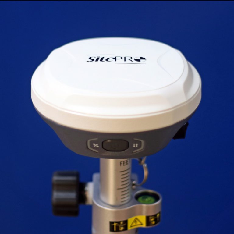
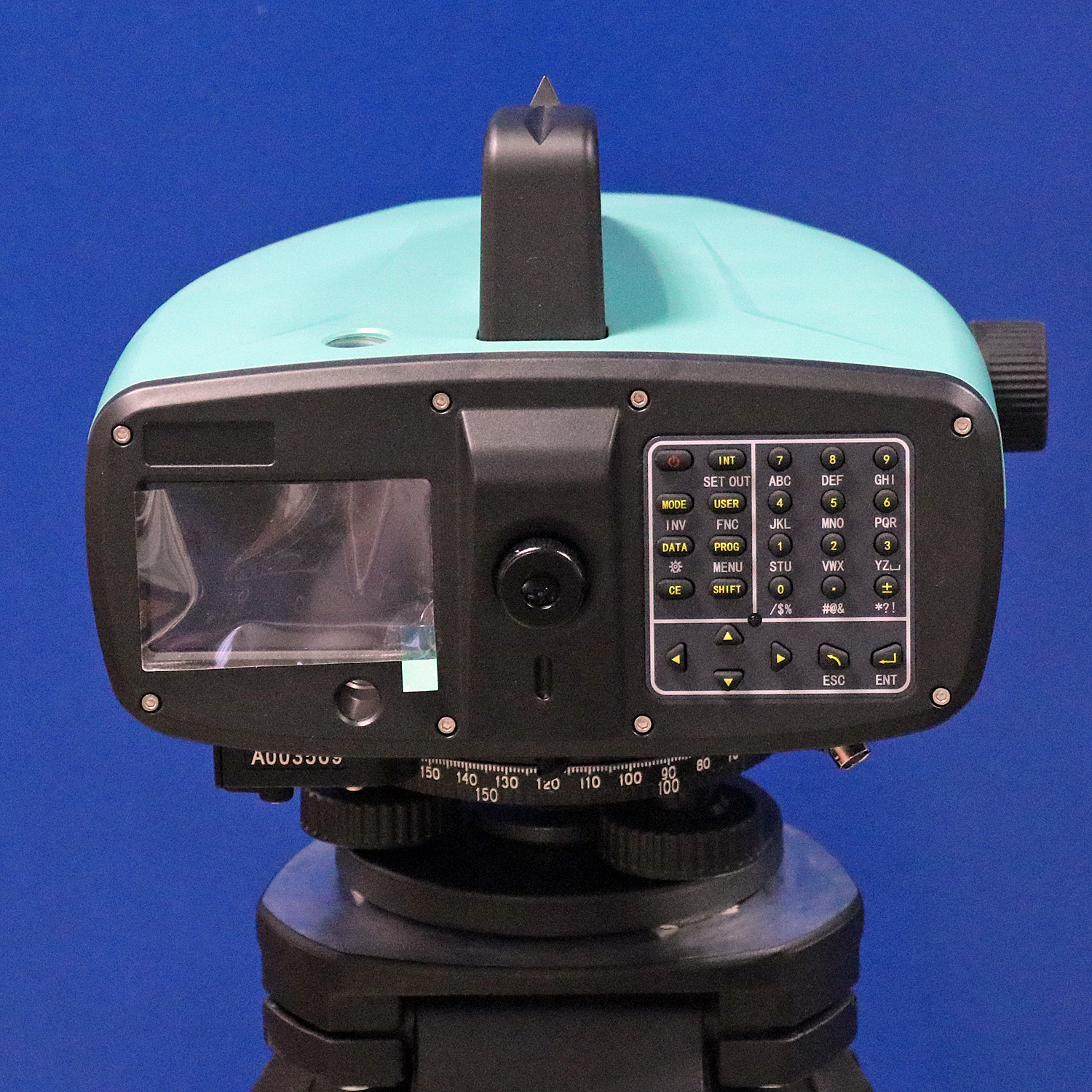
Quality Surveying Instruments for the Professional
At SitePRO, we deliver high-quality geospatial instruments that stand as an affordable yet dependable alternative to other brands. Our unwavering commitment to excellence ensures that every instrument we offer is designed to significantly enhance precision, efficiency, and productivity in your surveying endeavors.
Our Products
Discover our extensive range of products tailored to meet your specific needs, and find out how SitePRO can empower you to achieve unparalleled results confidently. Join the community of surveying professionals who rely on SitePRO for their geospatial solutions, and elevate your work with instruments that exemplify both quality and affordability.


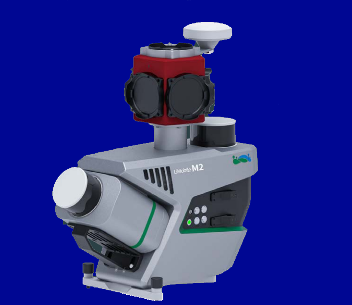
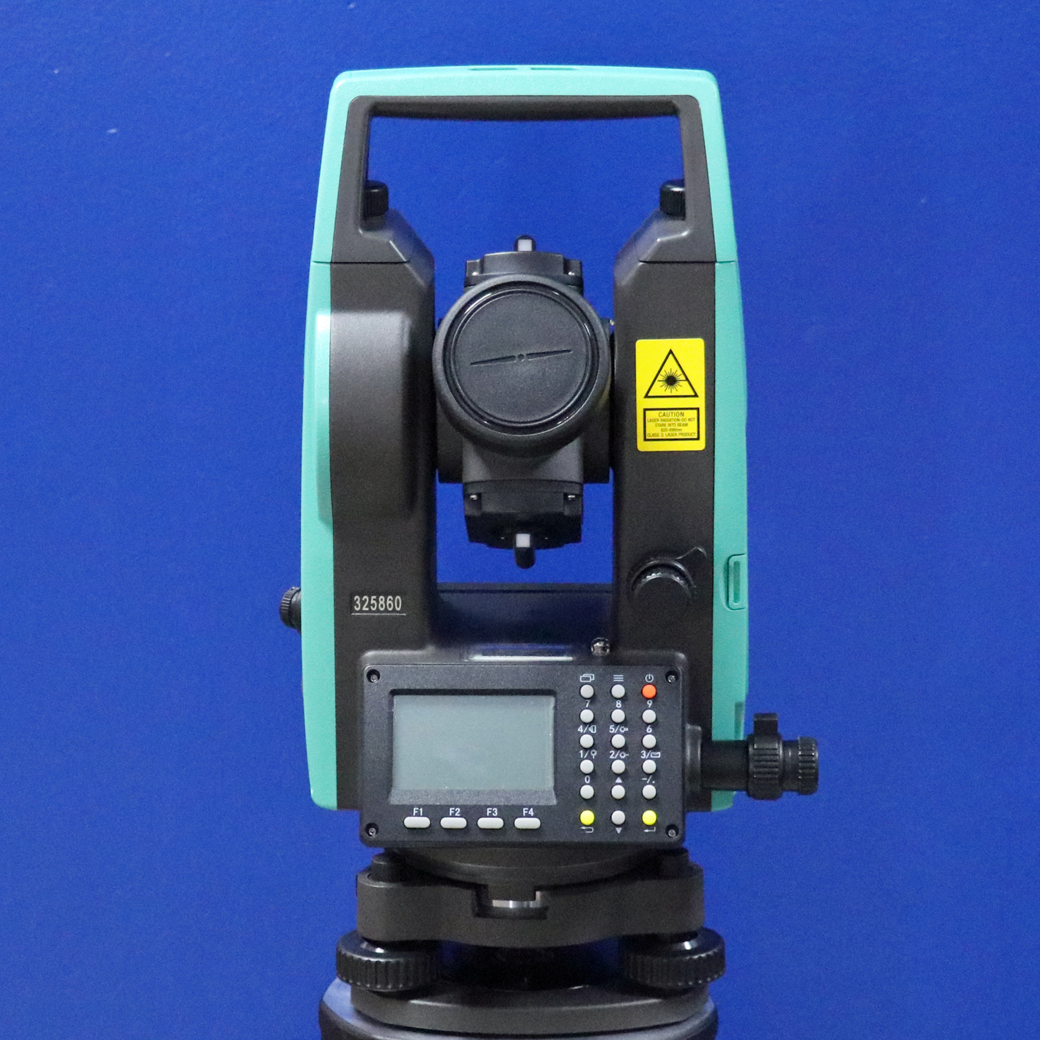
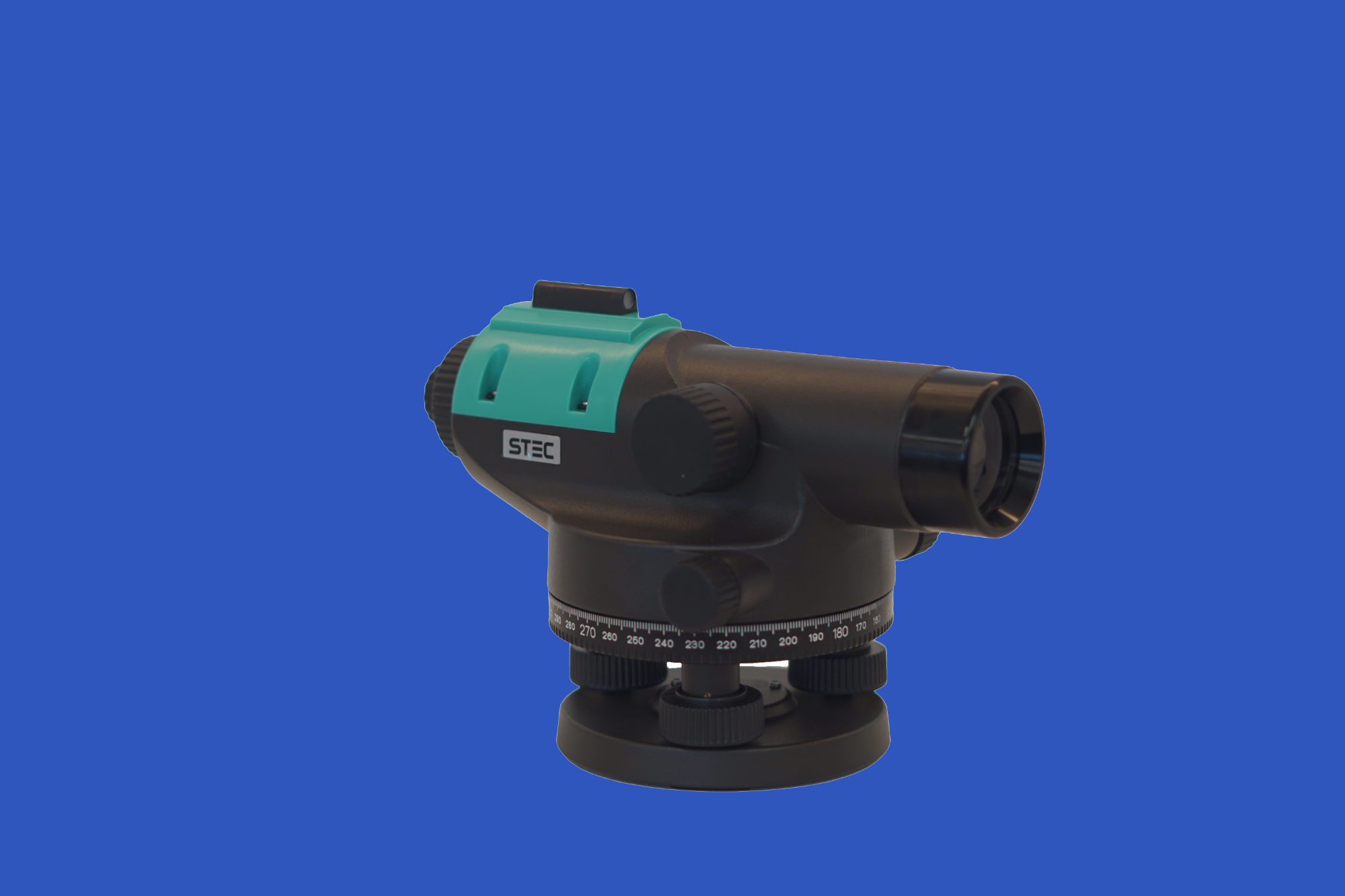
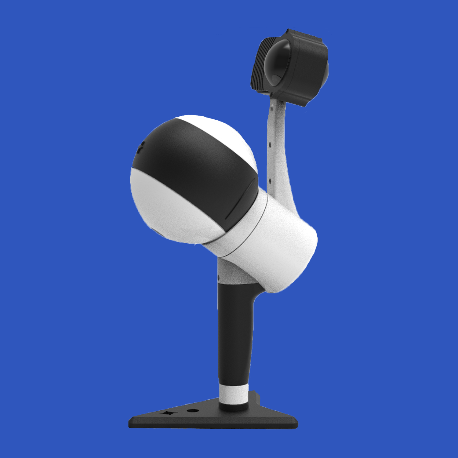
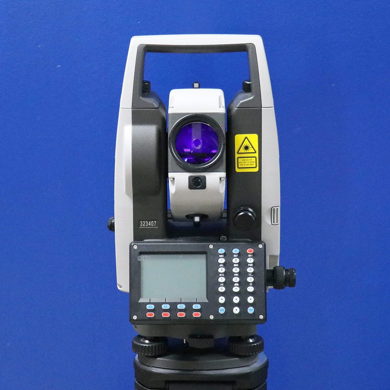
Land Surveying Instruments, LIDAR and Mobile Mapping
We market a complete line of quality surveying instruments for the Professional Land and Construction Surveyor
Contact Us
Telephone: +66 6 1471 9778
E-mail: sales@siteprogeophysical.com
Address: SITEPRO GEOSPATIAL PTE. LTD.
160 ROBINSON ROAD #14-04
SINGAPORE 068914