GNSS
All of our GNSS receivers feature 1408 channels with base and rover options and all constellations included when purchased


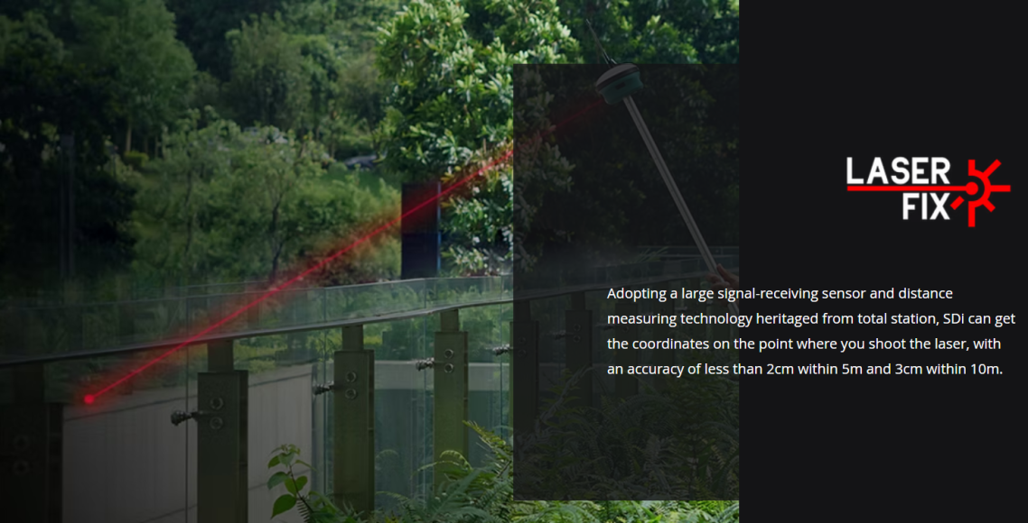
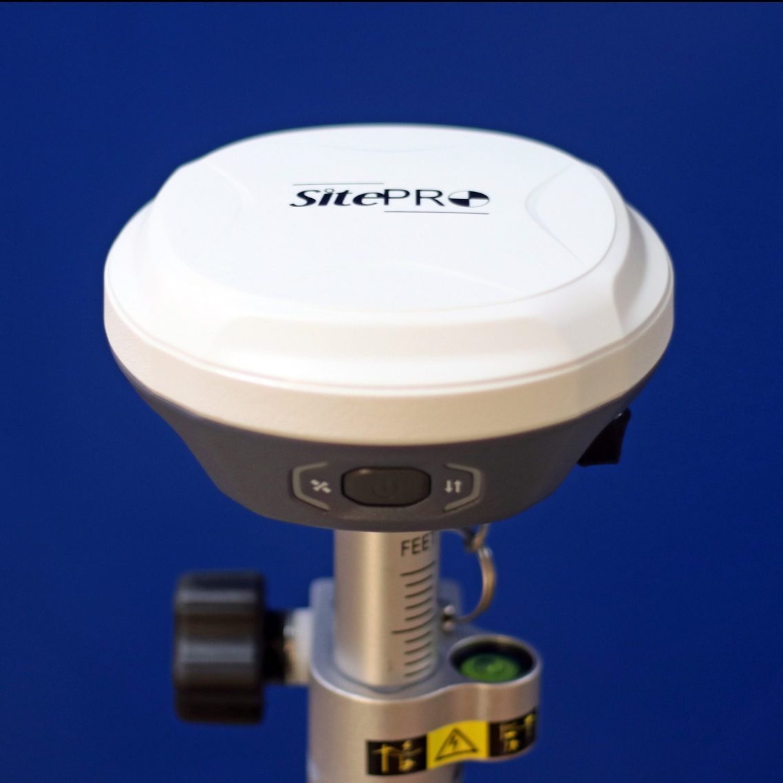
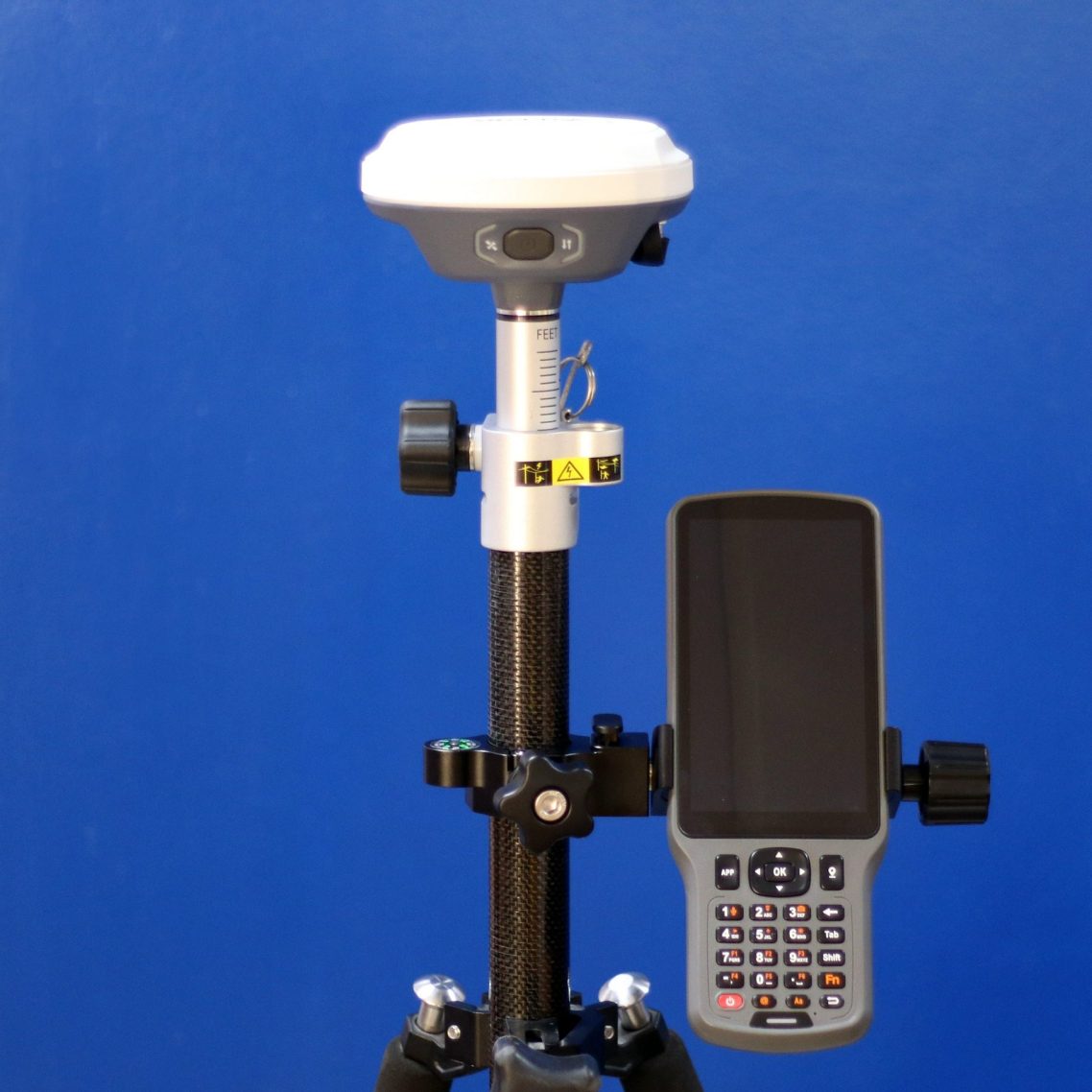
SDi GNSS
The SDi is a state-of-the-art GNSS receiver packed with advanced AI features and built in Electronic Distance Measuring capabilities
SDi GNSS
•Dual cameras for a more outstanding experience on AR stake out
•1408 Channels /1808 upgradeable
•21 Frequencies
•RTK Accuracy H: 8mm±1ppm (RMS) V: 15mm±1ppm (RMS)
•All Constellations
•Fast Fixing Speed
•2W Internal Radio
•IMU 120 Degree Tilt Function
•Web UI Interface
•2 Year Warranty

SDi GNSS
The SDi's built in rangefinder and 120 degree tilt function makes hard to aquire points a much easier task!
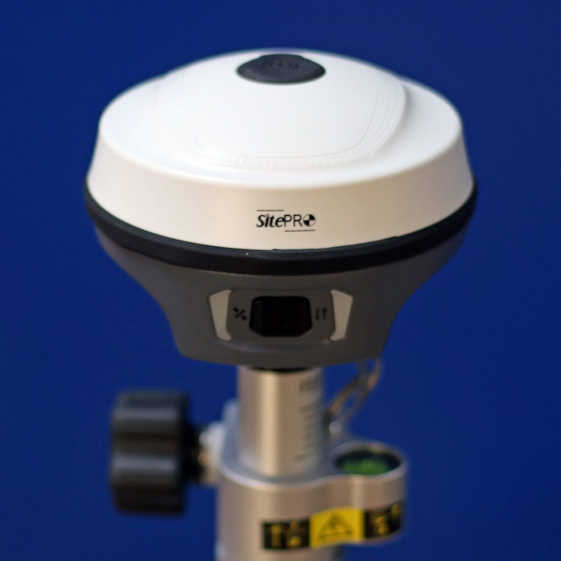
SV1 GNSS
The SV1 is a state-of-the-art GNSS receiver that merges industrial-leading inspiring ideas and technologies, offering a perfect balance of accuracy, simplicity and efficiency for everyone's survey jobs in various challenging environment.
SV1 GNSS
•1408 Channels /1808 upgradeable
•21 Frequencies
•RTK Accuracy H: 8mm±1ppm (RMS) V: 15mm±1ppm (RMS)
•All Constellations
•Fast Fixing Speed
•2W Internal Radio
•IMU 60 Degree Tilt Function
•Web UI Interface
•2 Year Warranty
SE Lite GNSS
With its small size combined with a big performance the SE Lite is redefining the GNSS receiver. The SE Lite state-of-the-art receiver merges innovative ideas and technologies, offering a perfect balance of size, accuracy and affordability.
SE Lite GNSS
•1408 Channels/1808 upgradeable
•RTK Accuracy H: 8mm±1ppm (RMS) V: 15mm±1ppm (RMS)
•All Constellations
•Fast Fixing Speed
•2W Internal Radio
•82mmx108mm Size
•Only 590g weight
•IMU 60 Degree Tilt Function
•2 Year Warranty

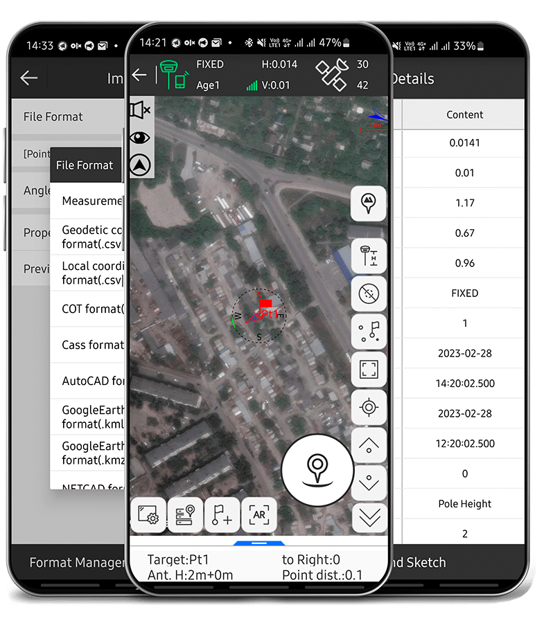
SurPad Software
Android mobile application specifically designed for professional use with GPS/GNSS RTK receivers and Total Stations. One of the key strengths of SurPad lies in its comprehensive suite of tools and functionalities, which allow users to seamlessly integrate RTK control, GIS data collection, and road design and layout in a single, intuitive interface. This makes it an ideal solution for professionals in the surveying and mapping industry, as well as for engineers, architects, and urban planners.
MicroSurvey FieldGenius
FieldGenius delivers powerful yet intuitive data collection, specifically designed for the demanding workflows of Land Surveyors and Construction Professionals. Experience streamlined essential fieldwork combined with seamless integration across your preferred devices and platforms.