LIDAR Technology
SitePRO distributes the complete line of Green Valley International's 3D LiDAR Scanning, LiDAR360 Point Cloud Processing Software and LiDAR Mobile Mapping Systems

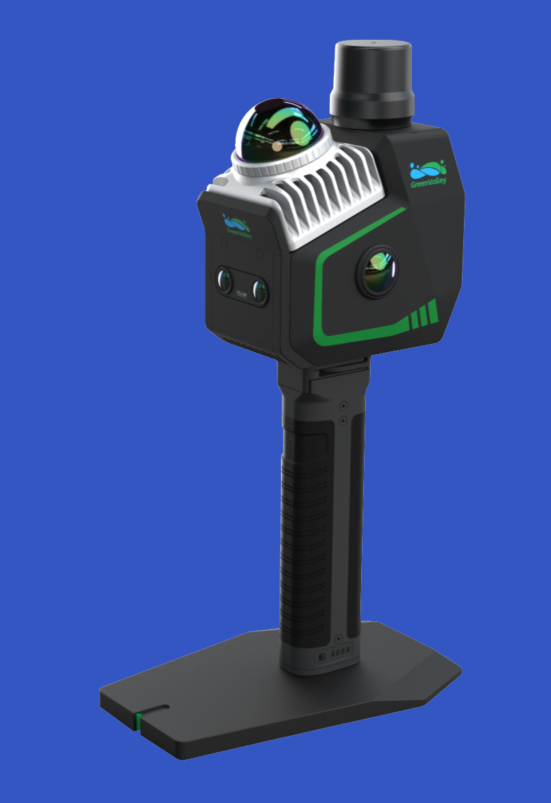
LiGrip O2 Lite
LiGrip O2 Lite is the latest-generation handheld SLAM product from GreenValley International (GVI), utilizing MLF-SLAM (Multiple Localization Fusion-SLAM) multi-sensor fusion positioning technology. It overcomes mapping challenges in featureless environments such as airports, beaches, and rivers, achieving centimeter-level data collection in all scenarios.
LiGrip O2 Lite
3D measurement accuracy [mm] <30
Color registration: Yes
Data acquisition speed (points p/second): 200,000
Laser Class: Class 1
Light source: Active
Max. horizontal field of view [deg]: 360
Max. Range [mm]: 7000
Max. vertical field of view [deg]: 52
Wavelength light source [nm]: 905

LiGrip H300
The LiGrip H300 (Ver B.00), discover the latest innovation in GreenValley International (GVI)’s LiGrip handheld series. This sleek and compact device offers lightweight handling, userfriendly operation, and versatile installation ptions. With its advanced sensors, the LiGrip H300 can quickly capture extensive scene data across various platforms, such as handheld, backpack, mounted on vehicle, and drone. Experience the power of multiple high-precision mapping methods, including SLAM, PPK-SLAM, and RTK-SLAM, allowing you to swiftly acquire point cloud data with absolute coordinates. Combined with GVI's self-developed LiDAR360 and LiDAR360MLS software, the LiGrip H300 effortlessly tackles last-mile challenges in mapping, mining, forestry, and road asset survey. Boasting a cutting-edge XT32M laser, the LiGrip H300 achieves a maximum range of 300 meters, and the scanning rate can reach 640,000 pts/s.
LiGrip H300
300-Meters Scanning Range
640,000 points per second
Choose from: SLAM, RTK-SLAM, and PPK-SLAM for flexibility across a range of scenarios.
RTK-SLAM: Ideal for areas with CORS signal coverage, allowing you to directly obtain precise point clouds with absolute coordinates.
PPK-SLAM: In areas without CORS signal coverage, you can choose to set up a base station to obtain point clouds with absolute coordinates.
SLAM: Point clouds with absolute coordinates can be obtained through the integration of GCP control points (if point clouds without absolute coordinates are sufficient, direct data collection can be performed).
Versatile Mapping Methods:
Use as handheld, backpack, vehicle-mounted, and drone-mounted to ensure comprehensive coverage and enhanced efficiency for different site requirements.

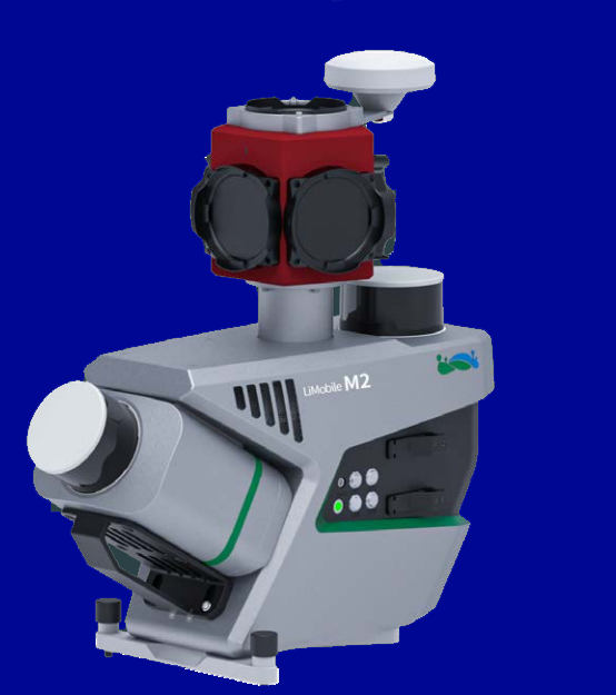
LiMobile M2
Mobile Mapping
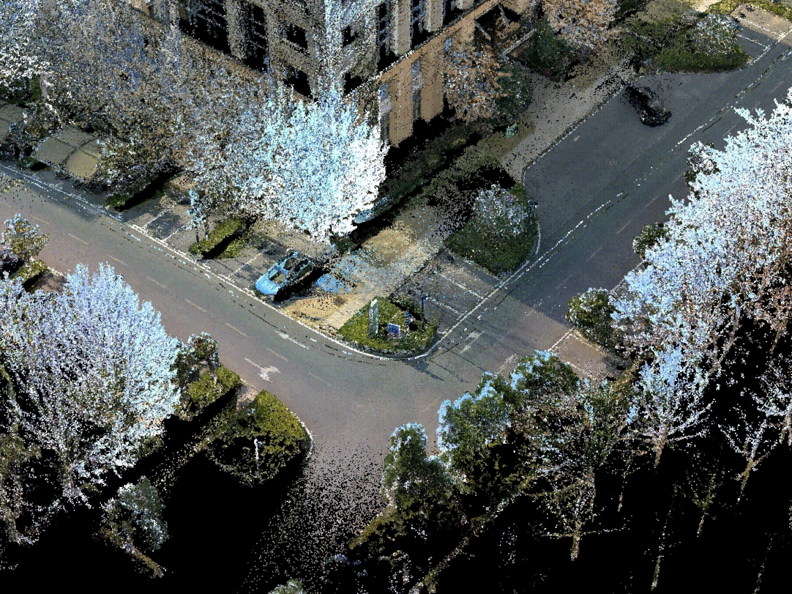
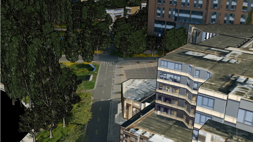
The LiMobile M2 integrates dual LiDAR (30° tilted/horizontal) and a Ladybug5+ panoramic camera for 3D road/environment mapping.
Using laser SLAM, it achieves high-precision GPS-denied scanning. Paired with GreenValley International's LiDAR360MLS software, it enables end-to-end data processing for applications including road asset extraction, urban powerline analysis, forestry management, and smart transportation.
LiMobile M2
The system integrates GNSS, IMU, DMI, and LiDAR SLAM technologies, enabling it to effortlessly handle a wide range of complex scenarios.
It can also achieve precise 3D reconstruction of real-world environments, even in areas where GNSS signals are unavailable.
Long-lasting Power, Continuous Operation
It supports an external power supply, enabling efficient and uninterrupted operation.
Instant Insight, Total Control
The newly designed data collection APP features a guided operational process, enabling real-time monitoring of data and location, and ensuring convenient access to all critical information.
Abundant Expansion
Compatible with optional pavement camera, front camera, DMI, and other external sensors. The pavement camera focuses on the road surface for a detailed pavement analysis. The front camera captures traffic signs at high resolution. The DMI provides assistance when satellite signals are blocked or unavailable, improving system stability.
Multi-Industry Applications
Paired with LiDAR360MLS software, achieve one-stop result delivery. Widely applied in road asset extraction, urban power distribution line analysis, urban forestry management, smart transportation, and more.
Highly Integrated, Flexible Installation

LIDAR 360 Software
Launched in 2013, LiDAR360 is a professional processing platform for massive point cloud data. The platform employs over ten different types of international leading point cloud algorithms, artificial intelligence, and machine learning to promote the use of LiDAR across the industry and solve users' application problems while unlocking the full potential of their point cloud data.
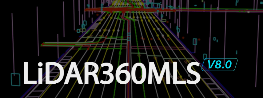
LIDAR 360MLS Software
LiDAR360MLS is a feature intelligent extraction and analysis software. It has a complete processing chain from MLS point cloud data processing to road asset survey,road maintenance, high definition map and other industry results delivery. LiDAR360MLS accelerates information extraction with intelligence and depicts the real world with digitalization.